White Mountains Guide Days 50-65
The last fifteen hikes have flown by. I began day fifty turning even further inward and spending less and less time on social media. To be honest, I have become less interested in spending time scrolling or following along on other people’s adventures, not because I don’t care, but because I don’t have the mental bandwidth to take in the amount of content that I’ve been absorbing anymore. The more and more time that passes, and the more time I spend alone in the woods or driving, the more I’m shifting focus. My interests are changing, too, and although I am still very much into hiking, I am finding new interests and rediscovering old ones.
I’ve become obsessed with podcasts about a variety of topics ranging from ways to better use your time, to how to build your own brand. I’ve had to continuously remind myself that my job right now is to hike, and that’s all - feeling the constant pull to “produce content” or be “working on something” in order to feel like I’m a contributing member of society. I have a really hard time not constantly producing something and each day I am fighting the urge to create content or write or work in some way in order to feel validated in spending this time not making much money.
Ultimately, when I look back on the last sixty-five days of hiking, (four and a half months have passed since I started on this journey) I’m in awe at how much I have changed. In all honesty, for the last few years social media has been a huge influence in my life and the more time I spend on this hiking journey the less time I want to spend on social media. I have to keep reminding myself that this is a good thing, that I am growing in a positive direction, and that change (while uncomfortable) is good.
My body continues to amaze me. That I’m able to hike 12-15 miles a day with 3000-5000’ of elevation per hike day after day, with basically no rest, feels impossible in the natural, and yet I keep doing it. I’ve put over 16,000 miles on my car, driving 2.5 hours one-way to hikes almost daily, and then hiking, which means I have very little down time. However, I spend almost twelve hours a day alone which is allowing me to work through a lot of things, to really think about what I want to do with my life when I come out the other side of this journey, and to learn a ton about topics I never would’ve found had I not had so much time to myself.
The hiking itself is slowly taking a backseat, and allows me the time and the space to delve inward, which when looking back on my past blog posts from days 1-20 I was not doing at all. This journey is twofold and always has been, one part being about the physical act of hiking and seeing all of the trails in The Whites; the other part being about going inward and spending an exorbitant amount of time in my own head. I can say with confidence that since day forty-five I am doing exactly what I wanted to do with these 14 months and it feels really, really good.
10/5/22 - Day Fifty
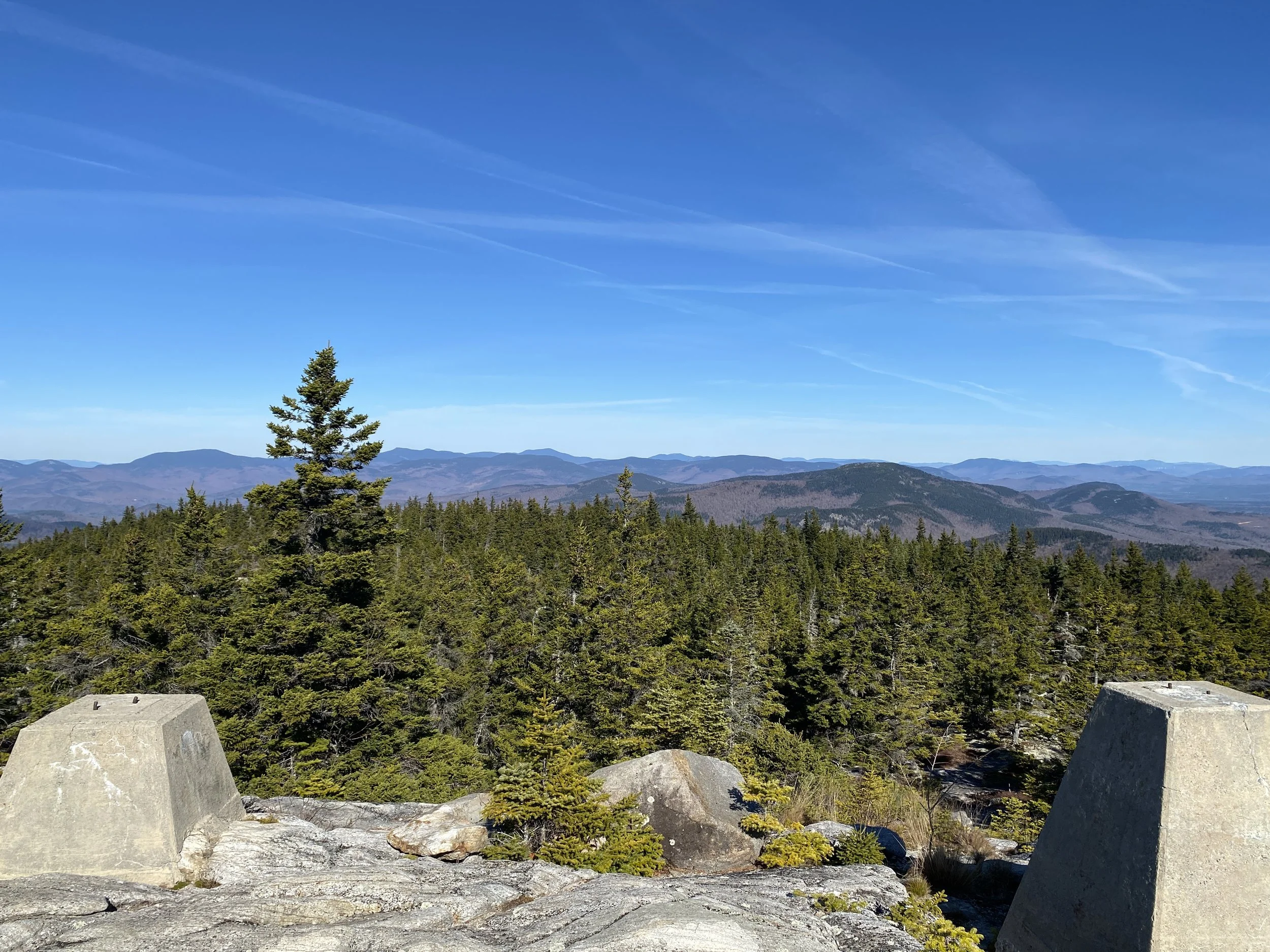
Today I was able to complete a large section of trail in the Baldface region. While I, once again, didn’t want to get up, after the thirty minute internal battle that I have with myself in bed every morning, I got up, got dressed, and drove two and a half hours north. The foliage is peak in the carter region right now. While the majority of the day was cloudy, the sun did come out at the end of the day and I was able to capture some really spectacular views from the ledges on South Baldface. After fifty days hiking, the biggest lesson I’ve learned is to maintain my schedule, that there really isn’t a lot of leeway and I have to get up and hike, if the weather allows it. I’ve also learned that I no longer need extrinsic motivation to get these hikes done - I’m intrinsically motivated now and that’s something that I don’t think I could say back in 2020, or even 2021.
Daily Miles: 11.03
Daily Vert: 4146’
Overall Miles: 537.28
Overall Vert: 169,297’
Trace: 22.9% -> 23.5%
Trails:
Baldface Circle Trail
Baldface Knob Trail
Slippery Brook Trail
Chandler Gorge
10/7/22 - Day Fifty-One
Back to the Baldface region again today and this hike will complete this section of trails from the Evan’s Notch region on the Balface side. I reascend Basin Trail for the second time, take a right onto Basin Rim Trail, and tackle the ups and downs leading to the summit of East Royce Mountain. I descend Royce Trail (my first time hiking this trail) and highly recommend it. This trail, while steep for the final quarter mile heading up onto the ridge, is gradual and follows Cold River. There are multiple spots to stop and go in the water, when it’s warmer weather, and Mad River Falls is just a few feet off the trail. Today was a lot harder than I thought it would be. Basin Rim Trail is no joke. I had hoped to complete this loop in four hours, and it ended up taking almost 6 (though I underestimated mileage by two miles when originally planning it).
Daily Miles: 10.82
Daily Vert: 3764’
Overall Miles: 548.10
Overall Vert: 173,061’
Trace: 23.5% -> 23.9%
Trails:
Basin Trail
Basin Rim Trail
East Royce Trail
Royce Trail
Royce Connector Trail
Mad River Falls
10/9/22 - Day Fifty-Two
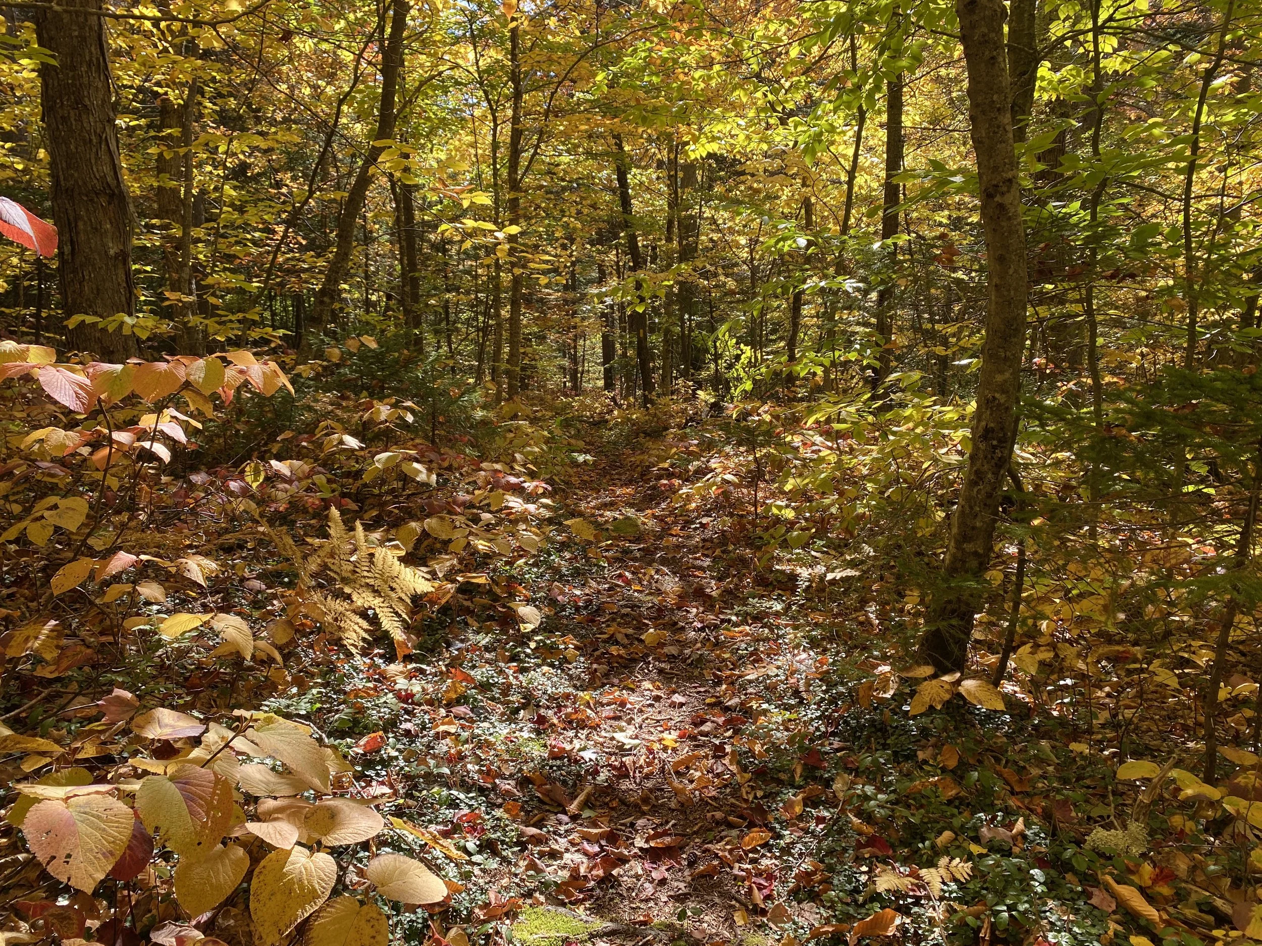
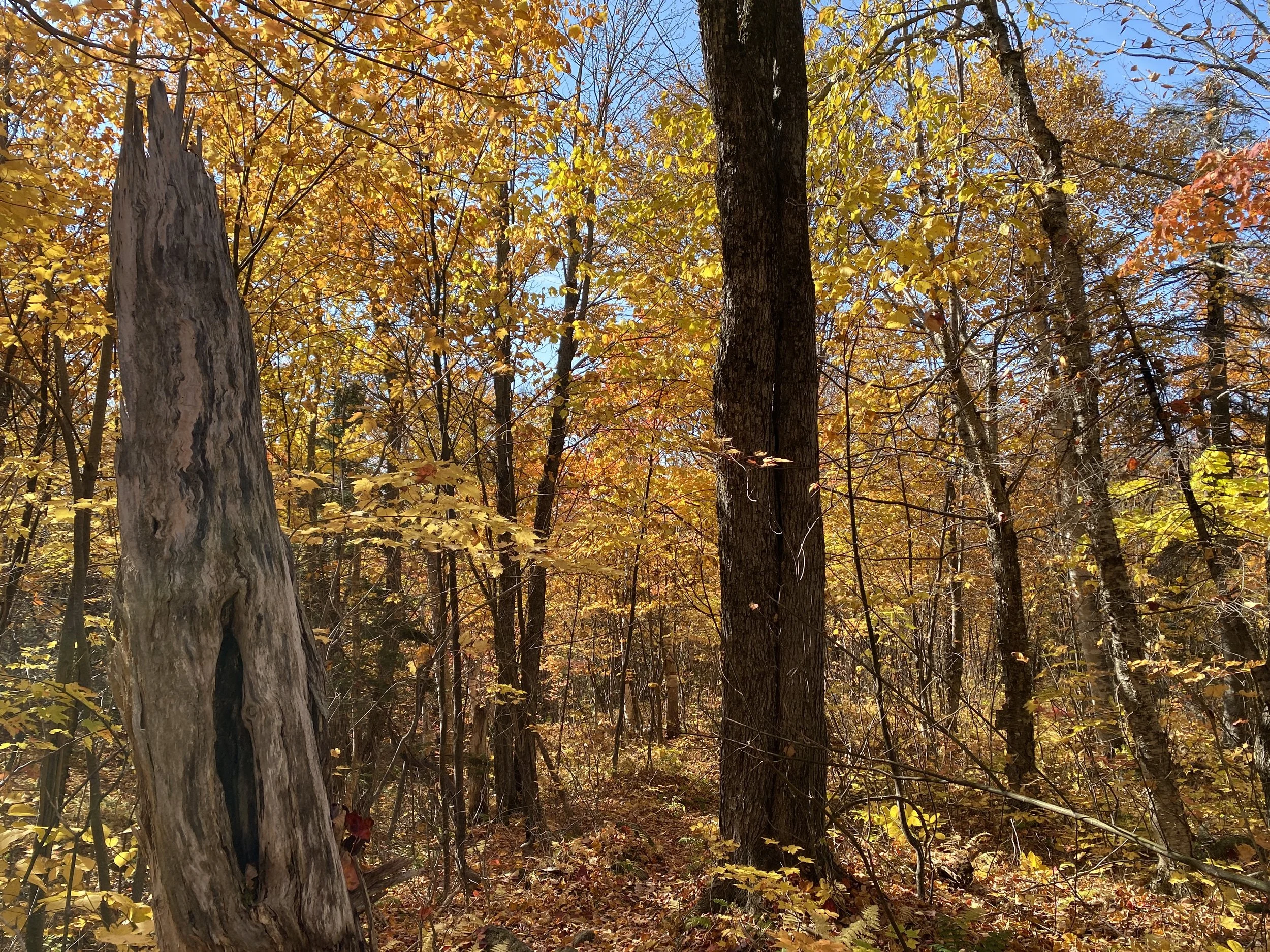
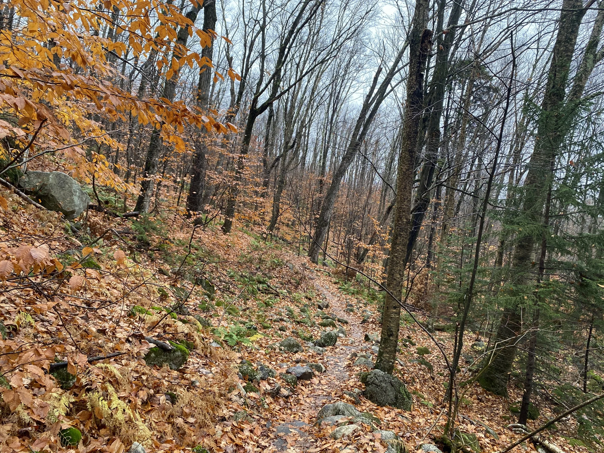
The foliage from the top of the canopy is past peak but below the canopy is stunning right now. I don’t think I have seen colors like this since the Tripyramids a few years back. The winds were picking up throughout the day and the clouds were spitting rain off and on. Eagle Link is perhaps the perfect trail for peak foliage (out of the 66% of the guidebook that I’ve seen so far). There was so much hobblebush that it was like walking through a bag of skittles. I’ve done this loop twice now and I prefer doing it the reverse direction that I went today, though. Going up Wild River to Eagle Link, across the ridge and down Basin Trail felt less steep back in 2020.
Daily Miles: 13.61
Daily Vert: 2836’
Overall Miles: 561.71
Overall Vert: 175,897’
Trace: 23.9% -> 24.4%
Trails:
Basin Trail
Basin Rim Trail
Meader Ridge Trail
Eagle Link
Wild River Trail
Spruce Brook Tentsite
10/12/22 - Day Fifty-Three
Today was a really pretty day of hiking. I’ve done this trail two times in the past so I knew that it would be a perfect place to go to see the foliage and I was right. Although the Carter region is past peak, it was still really nice out. I saw some moose scat and possibly bear scat as well (although Danielle says it’s also moose scat). I am officially ¼ of the way done with tracing in 14 months and ironically also ¼ of the way done with the New England 100 Highest as well. It was a really nice day and I highly recommend Slippery Brook for a long gradual approach to the Baldfaces.
Daily Miles: 11.83
Daily Vert: 1641’
Overall Miles: 573.54
Overall Vert: 177,538’
Trace: 24.4% -> 24.9%
Trails:
Slippery Brook
Eastman Mountain
Mountain Pond Loop Trail
10/15/22 - Day Fifty-Four
Today was a long day and was a lot wetter than it would’ve been even just a few days ago because we got 6” of rain (apparently) Thursday/Friday of last week. The two stream crossings on Bog Brook Trail were very high in the morning and I had to scout up and downstream to find safe spots to cross, something that I rarely have to do. By the afternoon, though, the water had dropped enough to where I didn’t have to scout out crossings and although I still got wet, I didn’t have to go into knee-deep raging water. The hike up Carter Dome was also wet. The entire trail was a stream during stretches after the really steep section, and my shoes were wet all day. But, I love Rainbow Trail and it was really nice to get to revisit it again. Listening to podcasts about “Park Predators” while hiking solo in the woods is not a good idea, and I won’t be doing that again.
Daily Miles: 14.02
Daily Vert: 3,670’
Overall Miles: 587.56
Overall Vert: 181,208’
Trace: 24.9% -> 25.7%
Summits: Carter Dome
NEHH: 26/100
Trails:
Bog Brook Trail
Wild River Trail
Wildcat River Trail
Carter-Moriah Trail
Rainbow Trail
10/18/22 - Day Fifty-Five Equinox & Dorset
The weather forecast for The Whites was rain so I headed to Vermont to hike both Dorset & Equinox. I started the day on Dorset, and finished on Equinox. Dorset was really neat. I wasn’t expecting it to be more or less an old road the whole hike and I was also expecting it to be more relentless than it was both in terms of navigation as well as steepness. I was pleasantly surprised that it wasn’t quite as steep as I had thought it would be and that there was a very obvious herdpath off of the old road that makes up the vast majority of the hike. Equinox is a maintained trail and I already knew that it was going to be steep but after already hiking one mountain, and knowing that I still had to drive 2 ¾ hours home, I was less than thrilled that the trail was as steep as it was because I can never go as fast on significant inclines. However, I was able to maintain 1.9 mph elapsed time on Equinox and 2.1 mph elapsed on Dorset which I’m pretty happy with. Equinox is a really nice trail too and the summit has some nice views from the building on top. However, I much preferred Dorset and will definitely go back again.
Daily Miles: 12.27
Daily Vert: 5,125’
Overall Miles: 599.83
Overall Vert: 186,333’
Summits: Equinox & Dorset
NEHH: 28/100
10/19/22 - Day Fifty-Six
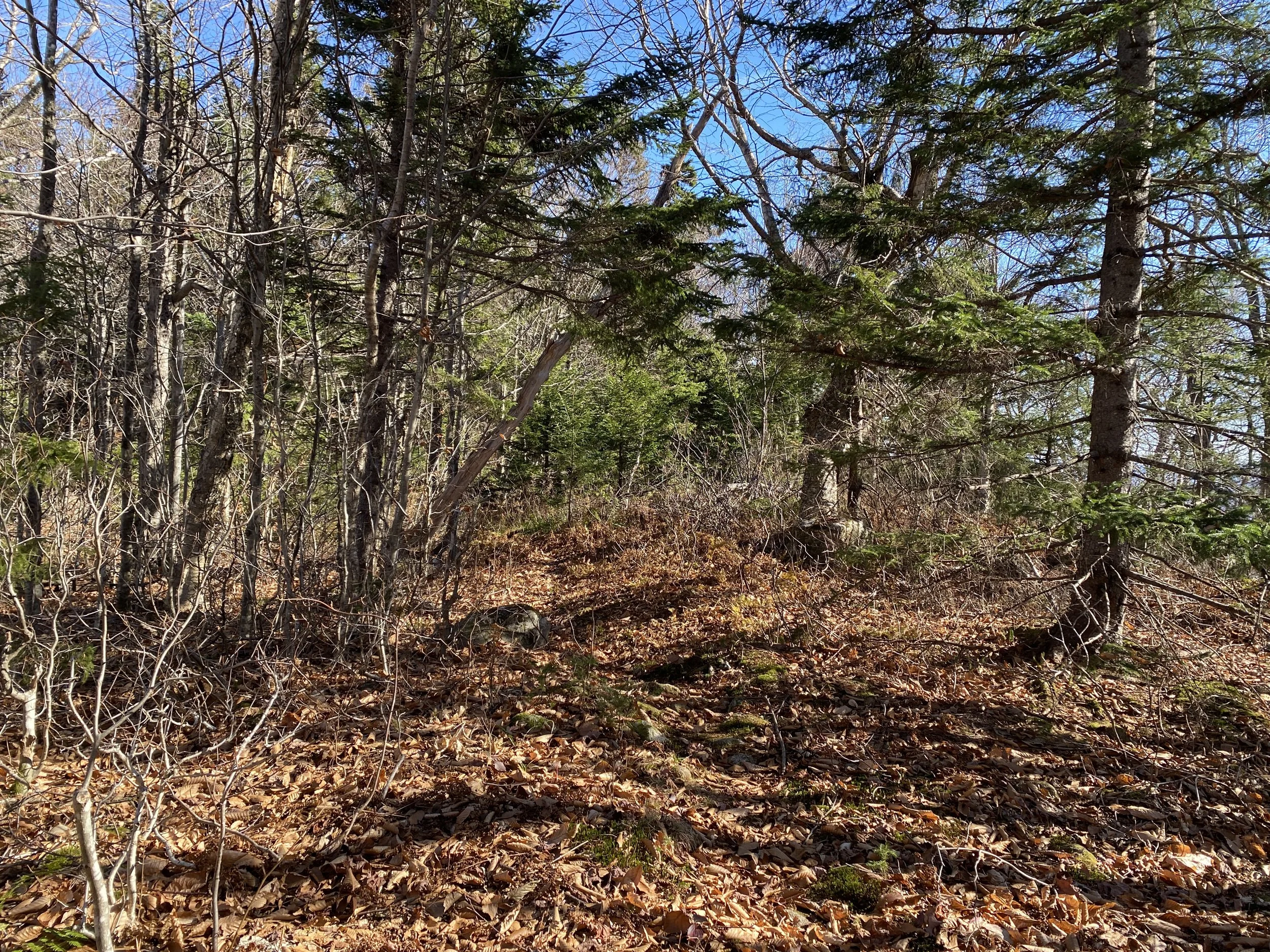
After finishing a big elevation day yesterday I opted for the hike I had originally planned for yesterday and did East Branch Trail. I knew from having read the trail description in the guidebook that I was in for a real treat (read: navigation would be atrocious) and I wasn’t disappointed. East Branch rivals Landing Camp in terms of not being maintained after the first 2.3 miles however it isn’t even remotely as overgrown as Landing Camp. I also did 3 miles on Wild River Trail, completing this trail in its entirety now. Wild River Trail as well as East Branch are not heavily used and I didn’t see anyone all day. East Branch after the first 2.3 miles is basically just a mixture of an old railroad bed that is heavily eroded and overgrown and a drainage. It’s slow going, wet, and hard to follow if you’re not good at finding the very minimal signs of use on trails that are rarely used. I loved it despite wanting to be able to go faster because it was the kind of trail that speaks to my soul. The whole day I wanted to know what it looked like back when this wasn’t a “trail.” I wish that I could see into the past through a looking glass and catch a glimpse of what these areas used to look like.
Daily Miles: 13.14
Daily Vert: 2,075’
Overall Miles: 612.97
Overall Vert: 188,408’
Trace: 25.7% -> 26.2%
Trails:
East Branch Trail
Wild River Trail
10/21/22 - Day Fifty-Seven
Today was a long day. I set out to do a loop of Red Rock, Great Brook, and Miles Notch, thinking that elevation would be around 3,200’ but it ended up being closer to 4,000’ by the end of the 14 mile day. This region is less traveled than a lot of the Whites and on a Thursday I didn’t expect to see anyone, nor did I. The last few hikes have been on less traveled trails which means they are not always as easy to follow, especially after all of the leaves have dropped and Great Brook was not an exception. However, I greatly enjoyed the long walk through the woods on this trail and now I only have two more hikes left to complete this section of the Whites.
Daily Miles: 14.43
Daily Vert: 4013’
Overall Mileage: 627.40
Overall Vert: 192,421
Trace: 26.2% -> 27%
Trails:
Miles Notch Trail
Red Rock Trail
Great Brook Trail
10/22/22 - Day Fifty-Eight
Today was hard. First, what was supposed to be a 12 mile day would’ve been a 16 mile one, because of a two mile one way road walk to the trailhead on Rocky Branch South, then the final 4 miles of trail were an absolute mess (for the most part). I knew that the trail would be a mess but a recent trail report said that it was a pleasant walk and only small sections of trail were a mess (wrong). I’m glad that I was able to do this as a traverse because doing it as an out and back was not something I wanted to do after just doing 14 miles and 4k vert in the Speckled range the day before. I do wish I had taken more photos while hiking but because I had planned on doing this as an out and back, on the way out I take less photos, typically. I will go back and hike this stretch of trail again, only from Rocky branch north going south next time, and after I’m done with my current project.
Trails:
Rocky Branch Trail
Daily Miles: 11.56
Daily Vert: 2468’
Overall Mileage: 638
Overall Vert: 194,877’
Trace: 27% -> 27.7%
10/26/22 - Day Fifty-Nine
Today went much differently than I had originally anticipated. I wanted to test out a ride service, because I have about a dozen hikes planned that will require carspots, and I need reliable transportation back to or from my car. I decided to test out Lyft on today’s hike up one side of Mount Tecumseh and down the other side. The carspot failed. I booked it the day before to pick me up at Waterville Valley Ski Resort, and they never showed up so I canceled after waiting 20 minutes past the arrival time. I was hesitant to traverse the peak without a guaranteed ride back to my car, but I had to do this hike, so I did it without knowing how I’d get back to my car unless I did the 5 mile road walk. On the summit of Tecumseh, I rescheduled another ride with Lyft to pick me up and bring me back to my car and once again, they didn’t show and canceled on me. So, I ended up doing the 5 mile road walk in mist and rain after hiking all day in the rain. BUT the good news is, the hike is done, and I think I found a different reliable shuttle agency for my next hike.
Trails:
Mount Tecumseh Trail
Sosman Trail
Daily Miles: 12.02
Daily Vert: 3778’
Overall Mileage: 650.98
Overall Vert: 198,655’
Trace: 27.7% -> 28.1%
NEHH: 29/100
10/28/22 - Day Sixty
Today I hit 200,000’ of elevation gain and although I didn’t realize this until after I got home, I am just in awe. I look back at the last sixty hikes, and they feel like a blur and at the same time they hold so many memories I couldn’t possibly pick one day that meant the most to me. The trails were beautiful today. I’ve never hiked Parker Trail, Langdon, or Stairs Col and all three blew me away. I revisited Davis Path for a brief stretch of trail, and instantly was brought right back to 2019 and a transforming overnight on Isolation via Davis Path. These trails hold so many memories for me. They are the setting of hundreds of good and bad days, they are where I have gone consistently since 2015 and I can’t imagine life without them. I am so grateful that I get to spend the next eleven months hiking multiple times a week in my beloved White Mountains.
Trails:
Mount Langdon Trail
Cave Mtn. Path
Mt. Parker Trail
Mt. Parker Spur
Davis Path
Stairs Col
Rocky Branch South
Rocky Branch South Campsite
Daily Miles: 13.07
Daily Vert: 3997’
Overall Mileage: 664.05
Overall Vert: 202,652’
Trace: 28.1% -> 28.8%
10/31/22 - Day Sixty-One
Today was really long. I didn’t realize how much elevation gain there would be throughout the day and for some reason assumed it would be at least 1000’ less than what it was. Whenever I hike on the AT I feel sad. I feel sad about friendships that I no longer have with former thru-hikers. I feel sad for all of the thru-hikers that I’m still friends with that have passed through. It’s like that trail holds all of the energy and memories that were formed on it, from the thousands of souls that have passed through, and every time I walk on it I feel their energy and it makes me sad. But, when I’m on that trail I don’t feel like it’s home. I never feel at home on the commonly hiked trails now. Those trails have too much energy. Too many people. It’s on all of the trails where hardly anyone walks that I feel at peace. I feel like I’m home on the lesser known trails.
Daily Miles: 13.97
Daily Vert: 4776’
Overall Mileage: 678.02
Overall Vert: 207,428’
Trace: 28.8% -> 29.5%
Trails:
Glencliff Trail
Hurricane Trail
Moosilauke Carriage Road
South Peak Spur
Town Line Trail
11/3/22 - Day Sixty-Two
Today was a really long day. I ended the day doing almost 16 miles with around 3800’ of climbing. The weather was really nice, though, and I didn’t see a soul all day. In tracking data for this 14 month project, I am also tracking my overall hiking data for tracing. On this hike, I closed out the “Speckled Tab” for my lifetime tracing. This is the first of the twelve tabs that I have hiked in its entirety and although I was not super excited about doing Evergreen Link Trail as an out and back after a 14 mile day, once I got to the end of this 1 mile trail, I couldn’t help but feel extremely excited that I was done with a tab. I’ve been working on tracing since 2019 and although I’ve started over three times, and done other hiking projects throughout the last three years, tracing has been my biggest focus for so long now that I almost can’t imagine ever finishing. This small accomplishment, as well as breaking the 70% mark for my lifetime tracing stats, felt incredible. It is these little steps that keep me moving forward.
Daily Miles: 15.86
Daily Vert: 3857’
Overall Mileage: 693.88
Overall Vert: 211,285’
Trace: 29.5% -> 30.2%
Trails:
Cold Brook
Red Rock
Great Brook
Evergreen Link
11/4/22 - Day Sixty-Three
Today I did an out and back on Hancock Notch & Sawyer River Trails. I knew that after yesterday’s hike the last thing that I would want to do was a hike with a lot of elevation, and this hike was a perfect fit. Hancock Notch Trail is a mix between old railroad bed, a notch, and a drainage. The first 3(ish) miles of the day were quick, and then as I got further into the notch, the trail conditions deteriorated. Although it was not as fast of a day as I would’ve hoped for, I was home by 4pm which was a real treat given the times I’ve been getting home lately.
Daily Miles: 12.33
Daily Vert: 1690’
Overall Mileage: 706.21
Overall Vert: 212,975’
Trace: 30.2% -> 30.6%
Trails:
Hancock Notch Trail
Sawyer River Trail
11/6/22 - Day Sixty-Four
Today was a really short day for me. I did a traverse of the Osceolas using a shuttle service for a carspot and it was a dream come true. I am so happy to have found another amazing company that offers rides to hikers in The Whites - Ali’s Taxi Service. She was really nice and apparently is always shuttling thru-hikers up and down along the AT during the summer so she’s really familiar with the trails in The Whites. The last few days have been unseasonably warm. It was in the low seventies at the trailhead at the end of the day and in the thirties on the summits. The clouds were thick and there were no views from either summit, but I wasn’t out there looking for views today, I just was thankful to have been able to get this hike done before Tripoli Rd. closes for the winter.
People have often asked me how I planned the hikes I have planned, and what factors determine when I do various hikes. All of it hinges on the seasons and road access. Can I get to the trailhead? Will the trail be broken out in winter? How quickly will the trails be snow free in spring? Will the trail be unsafe to hike due to water levels in spring? It all depends on something I have no control over whether or not I can finish these hikes by next September and there’s something about having no control that feels quite familiar to me after a cancer diagnosis. “Control is the illusion.” - Jurassic Park
Daily Miles: 6.72
Daily Vert: 2500’
Overall Mileage: 712.93
Overall Vert: 215,475’
Trace: 30.6% -> 31.1%
NEHH: 32/100
Trails:
Mount Osceola Trail
Greeley Ponds Trail
11/7/22 - Day Sixty-Five
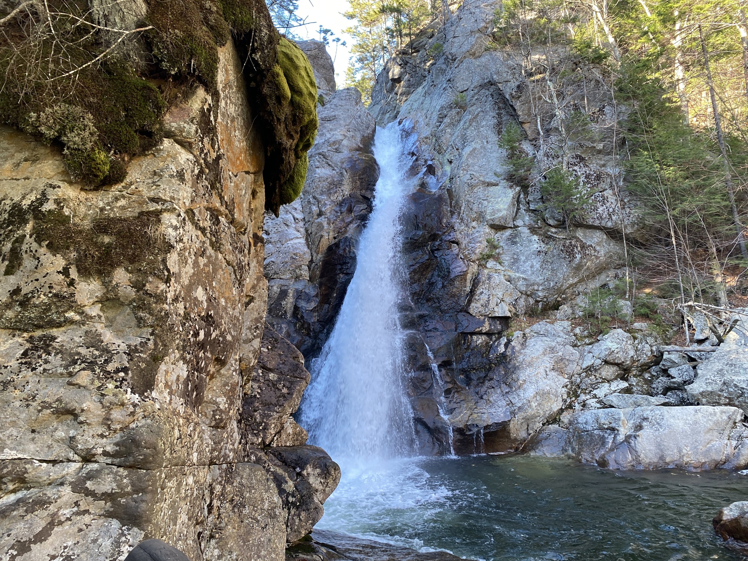
Today was a really long day. It has officially become chase the sun season and that’s what I spent the day doing. This was the first time that I’ve hiked the Wildcats in a really long time, like years, and I went the opposite of how I have gone in the past - taking 19 Mile Brook up to the ridge and descending down Wildcat E instead of vice versa. I forgot how many ups and downs there are going down Wildcat E and how rocky it is. Still, I was able to maintain an almost 2mph elapsed time speed throughout the day. The weather was unseasonably warm again and I only saw one person on the trail all day until I got to Square Ledge and Glen Ellis Falls. They’ve completed the steps and walkway down to Glen Ellis and it is absolutely beautiful. The last time I did this hike the trail was being worked on (2020). I forgot how long the trail to Square Ledge is, always confusing it with the side trail to Crawford Cliff, and by the time I was doing the road walk to Thompson Falls I was spent. Despite wanting to forego this side trip, I found myself turning into the parking lot at Wildcat Ski Resort and completing the 1.4 mile side trip. Then, back on the road, I prayed that I would get a ride and save myself an added 2 mile road walk back to my car and was blessed with a ride from a couple who picks up hikers a lot, they said. The day ended before 3:30 and I was grateful for the strength that I found in myself to get through this long day.
Daily Miles: 13.25
Daily Vert: 4948’
Overall Mileage: 726.18
Overall Vert: 220,423’
Trace: 31.1% -> 31.8%
NEHH: 34/100
Trails:
19 Mile Brook
Wildcat Ridge Trail
Lost Pond Trail
Glen Ellis Falls Trail
Square Ledge
Lady’s Lookout
Thompson Falls


